The Interface & Project Setup
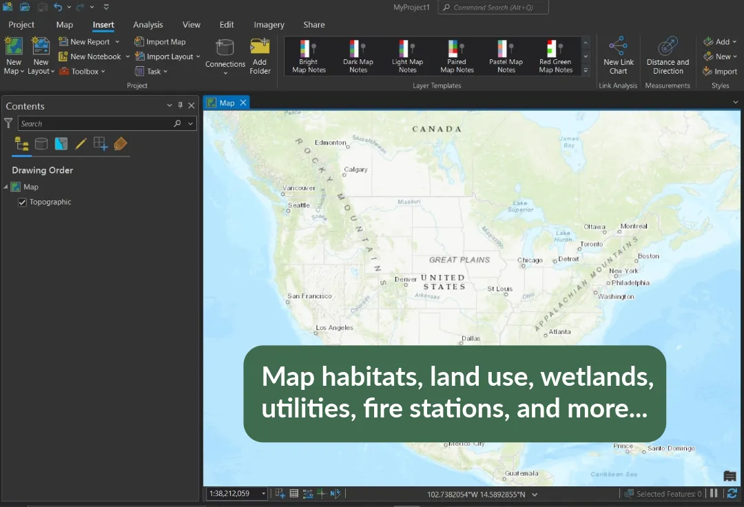
Navigate the ArcGIS Pro ribbon, connect to folders, and set up your first project without getting lost in the menus.
The Basics of ArcGIS® Pro
A self-paced course
Make your first professional map in ArcGIS® Pro — even if you've never opened GIS software before.
You need to make professional maps for work or school but don't know where to start.
You've tried opening ArcGIS Pro and felt overwhelmed by the interface.
You want a structured, step-by-step project rather than scattered tutorials.

I've spent the last twenty years building maps for environmental agencies, urban planners, and researchers. When I first learned GIS, I was overwhelmed by the interface and the sheer number of tools. I built this course to be the exact starting point I wish I had—skipping the unnecessary theory and focusing strictly on how to make a clean, professional map.
20+ years of Geographic Information Systems experience
Cartographer / National Geographic Society
GIS Analyst
Professor of Geography
500+ satisfied students
Each lesson builds directly on the last — by lesson 5 you'll have a complete, professional map of your own.
Navigate the ArcGIS Pro ribbon, connect to folders, and set up your first project without getting lost in the menus.
Source high-quality, free spatial data and correctly import vector and raster files into your map document.
Learn the most commonly used editing tools, such as clip and merge.
Set up label classes, a legend, scale bar, and north arrow.
Assemble your final map, then export a high-resolution PDF or an online map to share with others.
"I had no idea how to make a map yesterday. Today I printed a 24x36 poster of my study area. The step-by-step nature is exactly what I needed."
Sarah J.
Environmental Scientist
"Finally a course that doesn't start with 5 hours of theory. We were clicking buttons and making things in the first 15 minutes."
Mark T.
Urban Planner
"Straightforward, well-paced, and genuinely useful without making me feel overwhelmed."
Elena R.
Graduate Student
We are not representatives of Esri. ArcGIS is used for many professional and educational institutions, which is why we have developed this course. There is a variety of great freeware available, which we fully support as well. To complete this course, you will need access to ArcGIS Pro (version 2.8 or newer). We do not sell or provide the software license. Here is how most people get access:
Yes, Esri offers a 21-day free trial of ArcGIS Pro. Many students use this trial period to complete the course project before committing to an annual license.
No. While the cartographic principles apply anywhere, this course is a step-by-step technical guide built specifically around the ArcGIS Pro interface and toolset.
We offer a 30-day money-back guarantee. If you decide the course isn't a good fit, just email us within 30 days of purchase for a full refund—no questions asked.
Five lessons, lifetime access. Start today.
✓ 30-day money-back guarantee